OLYMPIA, WA – The Washington State Committee on Geographic Names today unanimously approved a name change of a water spring in Garfield County as part of an effort to replace feature names containing a derogatory word. In November 2021, the U.S. Secretary of the Interior declared “sq–w” a derogatory term and implemented procedures to remove it from federal usage. The order also established a task force to change existing geographic feature names currently containing that term.
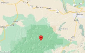
As a result, several features in Washington State have been subjected to name changes, including a spring west of Anatone in the Wenaha-Tucannon Wilderness area of the Umatilla National Forest. Sara Palmer is the Committee’s Chairman and talked about that geographic feature.
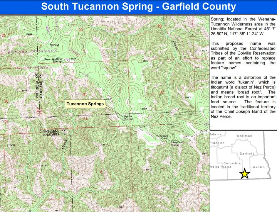
Now known as Tucannon Spring, the name is a distortion of the Indian word “tukanin,” which is titoqatimt (a dialect of Nez Perce) and means “bread root.”
“The Indian bread root is an important food source. The feature is located in the traditional territory of the Chief Joseph Band of the Nez Perce,” according to the Committee.
The new name was submitted by the Confederated Tribes of the Colville Reservation, with the initial proposal received in May 2022. The Committee’s final consideration took place in October.
Several other locations – in Chelan, Jefferson, Kittitas, Mason, Okanogan, and Thurston Counties – were officially renamed today by a vote from the Committee. You can see the agenda here.
On Tuesday, nine other features were renamed according to reporting from KIRO News 7, including a peak in Columbia County which had the same derogatory word. It is now named Wenaha Peak after the Wenaha River, a tributary to the Grand Ronde River. The peak is also in the traditional territory of the Chief Joseph Band of the Nez Perce.
The newly-approved names will be added to the Washington Administrative Code.
If you have a name that you wish to propose for a geographic feature located in Washington State, download a Geographic Name Application Packet.
South Tucannon Spring
Garfield County – Name Change
Township: 8N
Range: 42E
Section: 31
USGS Quad: Diamond Peak
Location Description: Spring; located in the Wenaha-Tucannon Wilderness area in the Umatilla
National Forest at 46° 7′ 26.50″ N, 117° 35′ 11.24″ W.
Proposal Summary: South Tucannon Spring: spring; located in the Wenaha-Tucannon


https://www.dnr.wa.gov/publications/bc_geog_south_tucannon_spring.pdf

